Lidar (Light Detection and Ranging) is a remote sensing technology using laser pulses to measure distances with high precision. Lidar works by emitting laser beams that hit a target and measuring the time it takes for the reflected signal to return. This enables the generation of highly detailed three-dimensional point clouds, distinguishing it from technologies like radar (radio waves) or stereovision (image analysis). Lidar’s key implications are its spatial accuracy and its ability to operate in low-light conditions.
Use Cases and Application Examples
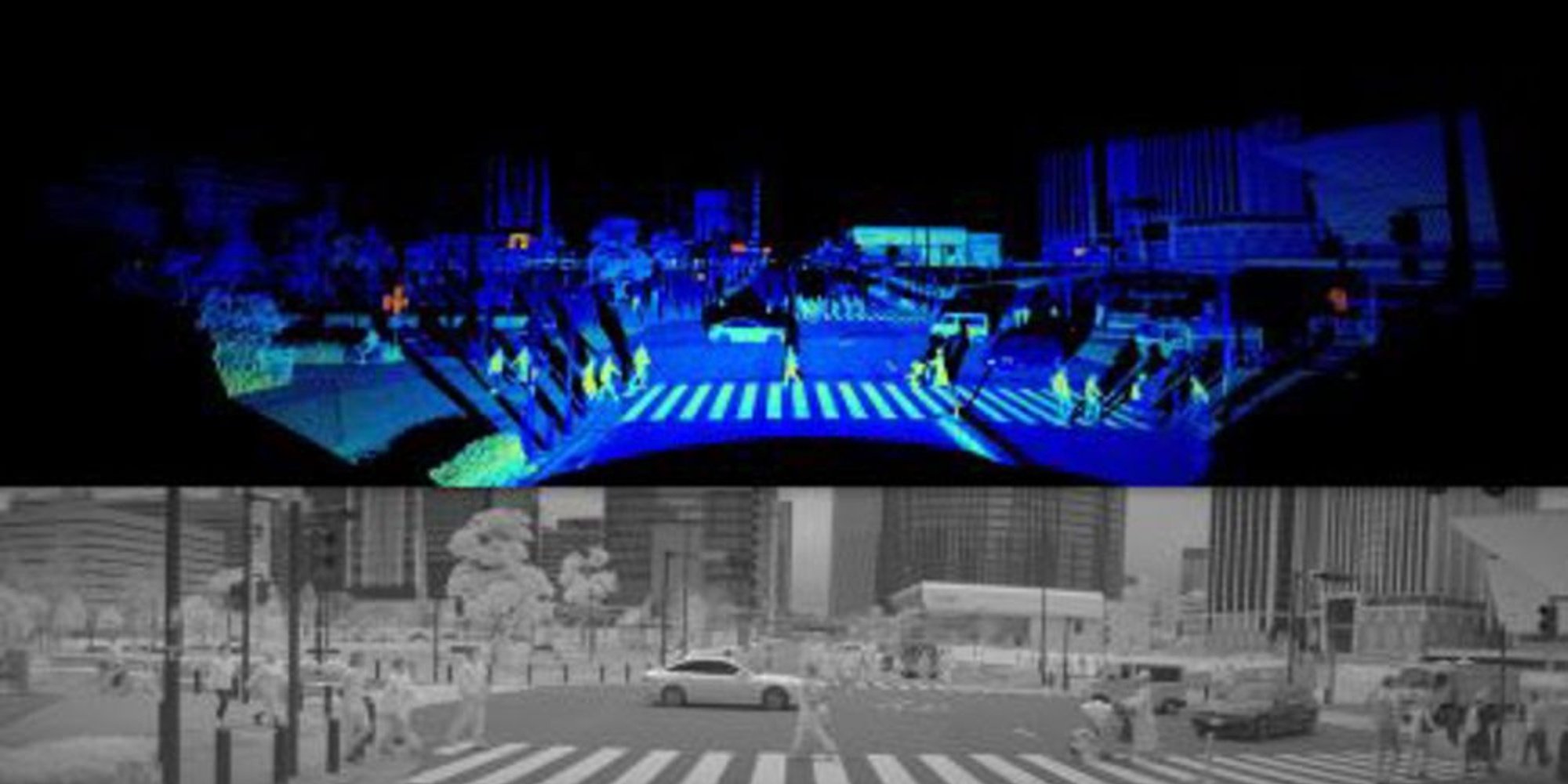
Lidar is widely used in topographical mapping, 3D urban modeling, forestry management, archaeology, and geology. In the automotive industry, it is essential for navigation and obstacle detection in autonomous vehicles. Drones equipped with Lidar can quickly map inaccessible or hazardous terrain. It is also used for infrastructure monitoring and natural resource management.
Main Software Tools, Libraries, Frameworks
Several tools and libraries support Lidar data processing, including PDAL (Point Data Abstraction Library), LAStools, CloudCompare, and Open3D. For integration into machine learning or robotics workflows, ROS (Robot Operating System) offers dedicated Lidar sensor modules.
Recent Developments, Evolutions, and Trends
Recent advances focus on miniaturizing Lidar sensors, reducing costs, and improving temporal and spatial resolution. The rise of autonomous vehicles is driving research into more robust and compact solid-state Lidars. Additionally, combining Lidar data with other sensors (cameras, GPS, IMU) opens new perspectives for environmental perception and 3D modeling.