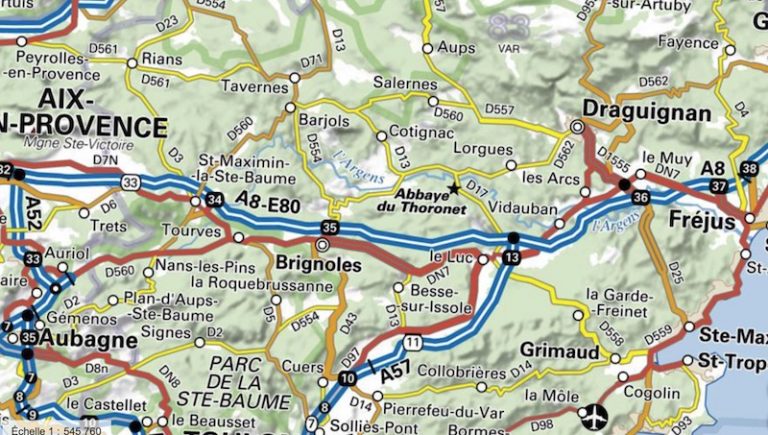
Since 1 January 2021, all public data (vector and ortho-images) from the National Institute of Geographic and Forest Information (IGN) are free and accessible free of charge. While the opening of all public data requested by the Government was planned for 2022, the IGN anticipated this. This free and open access for all, by downloading or streaming, contributes to the national economic recovery plan.
The opening of IGN data under the Etalab 2.0 open license means free access and use for all. No reproduction rights, no distribution rights to be paid. Only the data including third party rights or protected by copyright (maps and SCANs) are not concerned by this opening.
Important data that will now be opened include the ORTHO® DB, the TOPO® DB, the Forest® DB and the RGE® Alti.
“With the logic of opening up public data, the objective is to offer everyone the possibility of enhancing data without limiting constraints, to facilitate their cross-referencing with other data and to bring out new services made necessary by the digital transformation of society and the State. We are betting that openness will make it possible to build new partnerships and new solid collaborations, thus reinforcing the adequacy between the public data produced and the expectations expressed by those who will use them”, says Sylvain Latarget, acting Director General of the IGN.
In the dynamics of the State-platform strategy modernizing public action and the revolution in digital uses, the IGN, led by Sébastien Soriano since January 4, 2021, has, in recent years, evolved its historic mission of data production-dissemination, its organization, its economic model and its working methods to meet an imperative: to provide direct support to public policies.
“For all those who were eagerly awaiting this opening, the availability of this public data, which represents the trifle of a few hundred terabytes, will be made available gradually until the opening of our new tool for massive data dissemination scheduled for the end of the 1st quarter of 2021”, adds Sylvain Latarget.
Translated from Les données publiques de l’IGN relatives à la topographie, au relief et à la visualisation du territoire sont libres et gratuites


