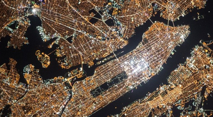
While many of us are admiring the real-life photos of Thomas Pesquet from space, a study conducted by researchers from several American universities has highlighted the development of geographic spoofing and calls for "demystifying the question of the absolute reliability of satellite images or other geospatial data. Taking as an example satellite images of a fire in Central Park, New York, or a fireworks display in Divali, India, they noted that these events had never taken place and that these photographs had been falsified, even though everything appeared to be real. With the creation of new AI-related technologies becoming more and more developed, researchers fear that the phenomenon could become recurrent.
Research project to combat geographic forgery
The research project was conducted by Bo Zhao of the University of Washington, Shaozeng Zhang, Chunxue Xu, Yifan Sun of Oregon State University and Chengbin Deng of Binghamton University. It has resulted in a publication explaining their findings. Using satellite photos of three cities and relying on methods of manipulating audio and video files, this team of researchers managed to identify new ways to detect fake satellite photos. Their goal is to warn of the dangers of falsified geospatial data and to raise awareness of the need to create a system to verify geographic data.Since ancient times, inaccurate locations have been a part of cartography. However, in the past, these errors were unintentional and the technical means were much less efficient. Furthermore, this is due to the translation of real locations into map form: no map can really be accurate in the positioning of all the places it wishes to show.
Today, the presence of geographic information systems, such as Google Earth, Google Maps or other satellite imagery systems, has reduced the rate of map errors. Spoofing a location involves a much higher level of sophistication and risk, but that doesn't mean it's impossible to do. Two years ago, the U.S. Department of Defense was already talking about the fact that deliberate manipulation of satellite imagery using AI could pose a serious national security threat.
The use of artificial intelligence in the field of geography
To study how satellite images can be faked, the research team used an algorithm that has been used to manipulate other types of digital files. When applied to the field of cartography, the algorithm, in order to be trained, learns the characteristics of satellite images of an urban area and then generates a fake image from the database it has. The system analyzes all its features and makes a comparison between the real and the fake image.Specifically, the researchers were given satellite images of the city of Tacoma. They kept this database and used satellite images of Seattle and Beijing, which they combined with images of Tacoma to produce false images that could match the city of Tacoma to the human eye. These images were then submitted to train the algorithm to detect the real ones from the fake ones.
The lead author of the publication, Bo Zhao, said of her desire to conduct a study on geographic forgeries:
"The purpose of the study was not to show that geospatial data can be falsified. ...] As technology continues to evolve, this study aims to encourage a more holistic understanding of geographic data and information, so that we can demystify the issue of the absolute reliability of satellite imagery or other geospatial data. [...] We also want to develop more future-oriented thinking to take countermeasures such as fact-checking if necessary."However, Bo Zhao points out that simulated satellite images can be used in certain situations such as understanding urban sprawl or to capture climate change issues. In some cases, there are no satellite images to help specialists. That's when creating new images based on existing ones can fill in the gaps and provide valuable assistance to the researcher.
Translated from Comment l'intelligence artificielle peut lutter contre la falsification d'images satellites ?